We decided to throw away the rule book when designing Spatial Integration.
We wanted high quality, fast graphics that AAA games would be proud of, all while maintaining the flexibility of a system where anything and everything can be transparent. And, it had to be cross-platform too.
3D environments should be able to handle whatever size data you throw at them. Spatial Integration pages data in the background so that it can handle insanely large data sets, from elevation models of the entire world down to centimetre resolution Lidar.
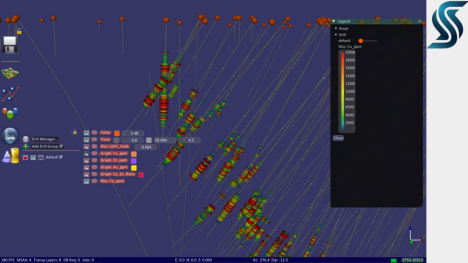
And why waste valuable screen space on menus and panels! Spatial Integration’s user interface takes inspiration from the gaming industry with slide-out control overlays only when you need them, leaving maximum space to view your data.
And lastly, Spatial Integration is designed to be cost-effective. Every geospatial worker should be able to have a quality 3D environment on their desktop without breaking the bank. You’re welcome to use the free Community version for smaller tasks, or upgrade to Professional for every-day use.
Huge multi-resolution DEMs with varying formats and coordinate systems.
Multiple image overlays with real-time mixing / transparency and data streaming from popular image providers.
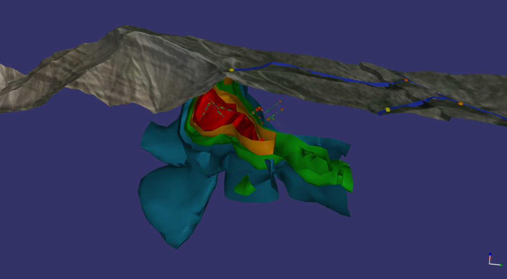
Drill holes with lithology and assay discs as well as multiple downhole graphs.
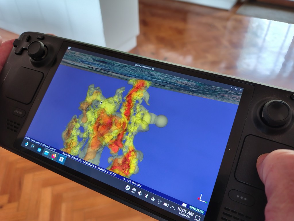
Volume display with real-time isosurfacing and block thresholds.
Projected and Spherical views.
Thousands of coordinate systems supported with on-the-fly reprojection.
Huge point data sets.
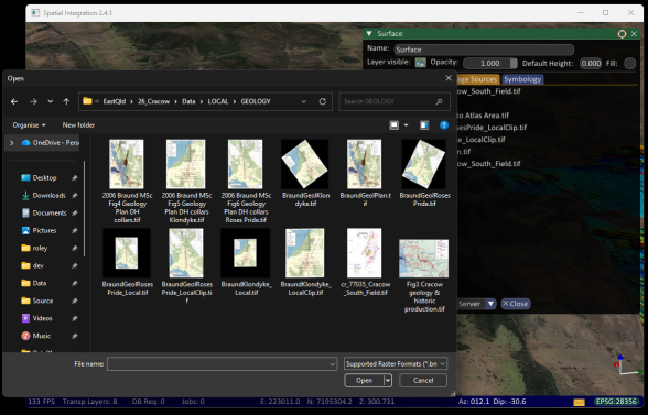
Import most 3D file formats to bring in existing content.