Elevation surface tutorial
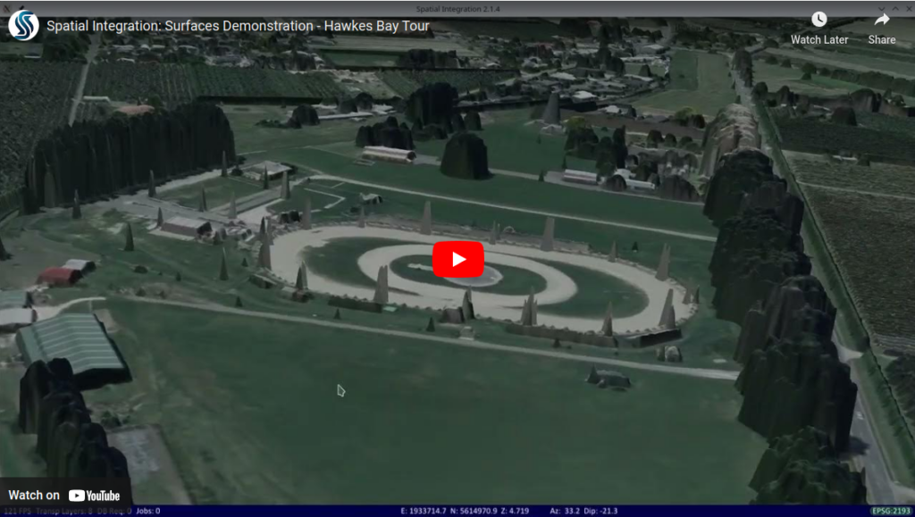
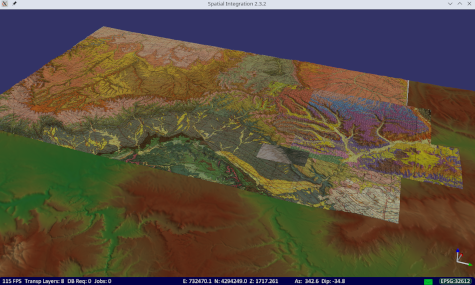
Want to know how to create elevation surfaces in Spatial Integration? See the Elevation Surface tutorial now on You Tube. The tutorial covers adding multiple elevation sources with different resolutions, multiple image overlays and colouring the surface by height. There is also a demonstration of rendering a full-Earth spherical model using SRTM data for the […]
Elevation surface tutorial Read More »