Geoscience for QGIS now includes sections!
 |
 |
 |
 |
 |
 |
Geoscience for QGIS 1.0 is out now! Please install or update from the QGIS plugin repository.
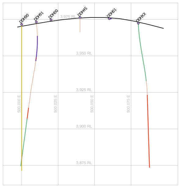
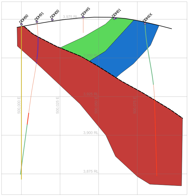
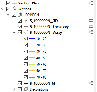
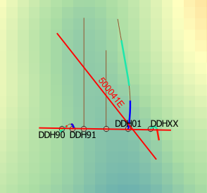
This version includes the ability to create and display drill sections. You can now cut arbitrary sections through your drilling data using the mouse or orthogonal sections using the keyboard.
You can choose which layers are included in the section, including points, desurveyed drill traces, downhole data layers and elevation rasters.
All layers for a single section are placed under a group so that they can all be toggled on and off together. You can add your own layers to this group for interpretation and annotation.
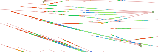
You can create as many sections as you like. Geoscience stores the section metadata in your QGIS project so that you can recreate them easily next time you open the project. You can also recreate sections if you update the underlying data or source symbology.
Symbology is copied from your source layers, so your sections are consistent with each other and plan representations of your data.
See the documentation for more information.