Version 1.6
Geoscience is offered ‘as is’ in the hope that it will be useful. No warranty is offered for its suitability for task.
Geoscience can be installed or upgraded from the plugins menu in QGIS (version 3.2 or greater).
Contents
- Drill Hole Tools
- Desurvey Data
- Downhole Data
- Structural measurement conversion (alpha/beta to dip/dip dir)
- Section Manager
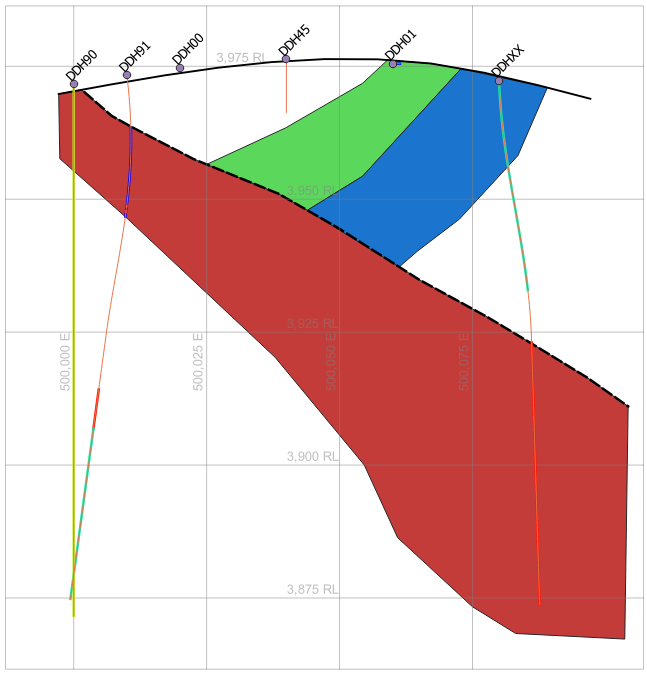
- Section Interpretation
- Vector Tools
- Reverse Line Direction. – This is needed when using non-symmetric line symbology (eg normal faults).
- Raster Tools
- Transparent White for all selected images
- Transparent Black for all selected images
- Local Grid Creation